ZAMMIE TOWN, River Cess – The Liberia Land Authority has completed a confirmatory survey in four communities in River Cess. This marks the final legal step towards obtaining customary land deeds for the people of Teekpeh, Ziadue, Dorbor, and Gbarsaw clans in Central River Cess District.
The Sustainable Development Institute supported the survey as part of its Tenure Facility project, which assists communities in obtaining deeds to their ancestral lands.
Crucial in securing land rights and ownership for the local population, the survey marks a significant step towards formalizing land tenure arrangements and giving residents legal land ownership.
The communities of the four clans are now one step closer to receiving their customary land deeds, which will grant them secure and recognized ownership of their land.
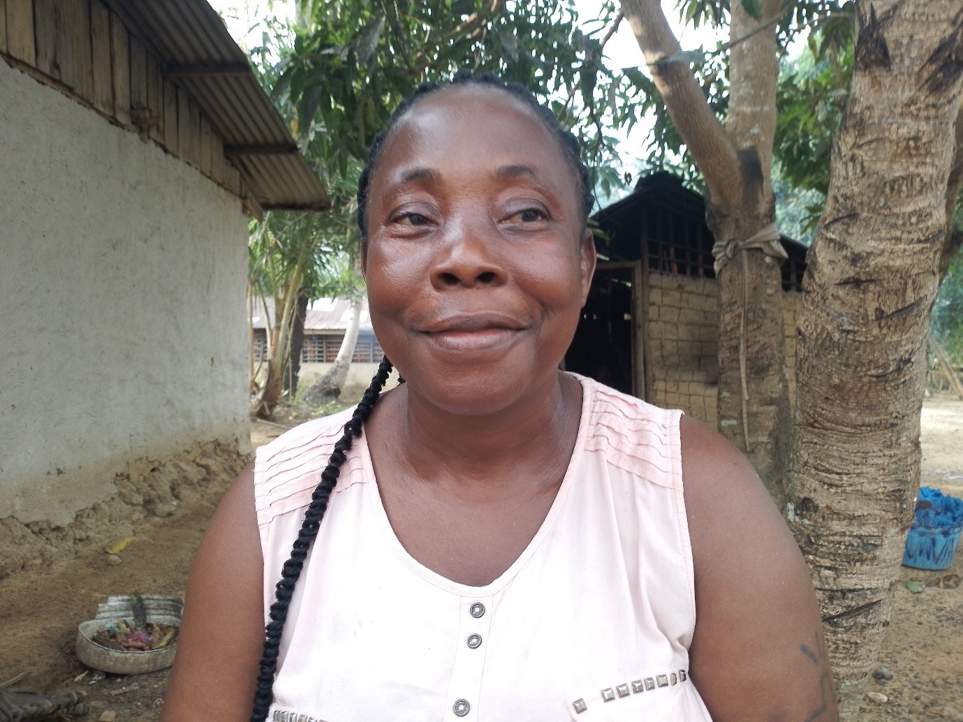
Blessing Nagbe, the town chief of Zammie Town, the headquarters of the Teekpeh Clan, welcomed the development and thanked the Land Authority and SDI for the successful survey. She noted that legal land ownership would give the residents the right to negotiate with even the government if it intends to use the land.
“The citizens of the area, they [are] the ones [who have] it [the land] – it’s not for government,” she said. “If we get our deed, that deed can back [me] tomorrow [in case of any disputes].”
Nagbe, in her early 50s, is known for her advocacy work in the community, especially in ensuring that communities benefit from using nearby forests.
“If [a] company enters here today… they got to meet the citizens, and when you meet the citizens, and we agree, that is the only time you will enter our forest,” she added.
Town Chief Blessing Nagbe. Photo: Eric Opa Doue
Before the Land Rights Act became law in 2018, rural communities did not legally own the land they lived on or have a say in the management of its resources. Liberia’s rural communities occupy over 70 percent of the country’s total land space, according to Jerome Vanjakollie, national coordinator for customary boundary harmonization at the Land Authority.
He added that deeding customary communities’ land will help address the numerous problems these communities have faced. While the new land dispensation grants land ownership to rural communities in Liberia, it requires communities to complete a confirmatory survey to qualify for customary land deeds. The process includes self-identification, mapping, boundary harmonization, drafting bylaws, forming a community governance structure, and conducting a confirmatory survey.
However, these processes come with costs that rural communities may be unable to afford. Vanjakollie estimates it costs a community about US$60,000 to complete all six processes leading to obtaining a deed for customary land.
In River Cess, the journey began in 2020 when the communities self-identified their land, mapped the respective boundaries, drafted the bylaws and constitution, and formed their leadership structures (the community land development and management committees).
However, Vanjakollie said boundary harmonization reached a standstill over disputes involving mineral, political, and tribal interests.
Over time, the different conflicts were resolved, although some communities had to waive portions of their lands to their neighboring communities to resolve the disputes.
For instance, Gbarsaw and Dorbor had a boundary dispute over a parcel of farmland. The conflict was resolved when Dorbor agreed to waive its rights to the land to Gbarsaw. Sand Beach Junction was another heavily contested area, as three of the four clans claimed ownership of it. Following almost three years of claims and counterclaims, Ziadue and Dorbor surrendered Sand Beach Junction to Teekpeh.

Standing: Members of Ziadue and Teekpeh and Ziadue Clans. Squatting: Arthur Cassell of SDI (left) and Ranee, LLA Technician (right). Photo: Eric Opa Doue
Vanjakollie noted that customary land is often illegally obtained by wealthy and influential individuals and companies without regard to locals or their traditional values and beliefs.
Now that these communities have completed the final legal step to obtaining their deeds, they will fully control the management of the land and its resources.
Marie Gbodueh, a member of a land management committee, expressed optimism over communities now owning their ancestral land.
“The way we [are] coming [to] get our deed now, [the county] superintendent don’t have power over it again; [the] representative don’t have power over it again,” Gbodueh said.
According to SDI’s GIS specialist, Arthur Cassell, the total land area of the four clans is about 143,000 hectares.
Teekpeh clan, being the largest, covers a land space of 60,000 hectares, while Gbarsaw, the smallest, covers a land space of about 18,000 hectares. Both Ziadue and Dorbor occupy 33,000 and 32,000 hectares, respectively.
Vanjakollie said 11 communities in River Cess have completed their confirmatory survey and are waiting to be issued customary land deeds.
“The Land Authority did the first five communities. SDI [is] doing these four communities, and LANDSA, [another NGO], is also doing another two communities,” he added.
Featured photo by Eric Opa Doue


